
History
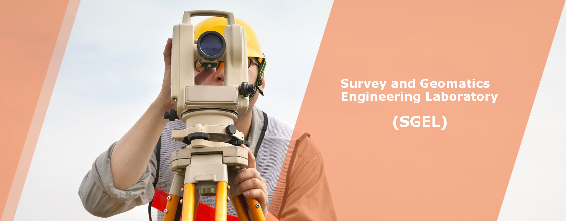
In 1982, the SGEL was established by Dr. Saeidian with the purpose of enabling students to practice engineering techniques using a wide spectrum of equipment ranging from traditional levels to the latest electronic equipment. Emphasizing the use of practical survey and geomatics engineering approaches, Ferdowsi university of Mashhad features two responsibilities for laboratory: Civil Applications (what exists as basic solutions for civil students) and Survey and Geomatics Applications (what is created for the advanced problems in Geomatics Engineering). The Faculty has organized one laboratory around these focus areas which emphasizes basic and advanced technologies and tools.
Scope
The Survey and Geomatics Engineering as an independent branch of Civil Engineering seeks to accurately understand the real-world interactions, invent, and innovate with creative design of maps. To address some of the greatest challenges in this important branch of science, the Engineering Faculty of Ferdowsi University of Mashhad uses different approaches that range from basic concepts to the advanced engineering technologies, at scales from the micro to the macro.
Members
SGEL consists of different survey engineering experts (Such as Dr. Saeidian, Dr. Shad and Dr. Etemadfard) who work together to solve tomorrow’s problems to build a better future through discovery and innovation in this laboratory. They are high qualify experts in the survey engineering and have many experiences to teach Survey Engineering, Advances Surveying, GPS and Application of Survey Engineering in the Civil, Architecture and Urban Planning departments (Practically and Theoretically).

Aim
As a main objective, an education in this laboratory provides an excellent foundation to solve the world’s greatest challenges in areas such as mapping, accurate modelling, construction supervising, disaster managing, sustainable developing, environmental monitoring, and energy issues. It prepares students for careers in fields as diverse as engineering solutions, restrictions and principals, mapping strategies, and project managing, as well as for graduate study in Geomatics.

Courses
Courses of Survey engineering Basics, Advanced Survey Engineering, Road surveying 1, Road surveying 2, Satellite Positioning, Geodesy 1, Geodesy 2, Physical Geodesy, Astronomical Geodesy, Surveying Applications in Agriculture, Surveying Applications in Geomorphology, Surveying Applications in Geophysics, Surveying Applications in Architecture Design, Surveying Applications in Water and Wastewater, Surveying Applications in Urban development, Surveying Applications in Ecology and Natural resources, Micro-geodesy, Adjustment and Test, Errors Theory, Map Projection and Transformation, Geometry, Hydrography and Levelling Applications, are the undergraduate degree program offered by the Survey Engineering Experts. They lead to the Bachelor of Science in Agricultural Engineering, Water and Wastewater Engineering, Soil Engineering, Geophysics, Weather Engineering, Architecture and Urban development Ecology and Environment management, and has a flexible curriculum that supplements Civil Engineering and Survey Engineering foundations with an area of core coursework for disciplinary or multidisciplinary focus.
Future
The department also offers graduate degrees within the broadly defined areas of environmental science and engineering (including GIS, RS, Agriculture, Ecology Architecture, Urban design, Hydrology and Road and Transportation Engineering). In the future, it is essential to upgrade the equipment and use modern technologies for the effective education.

Equipment
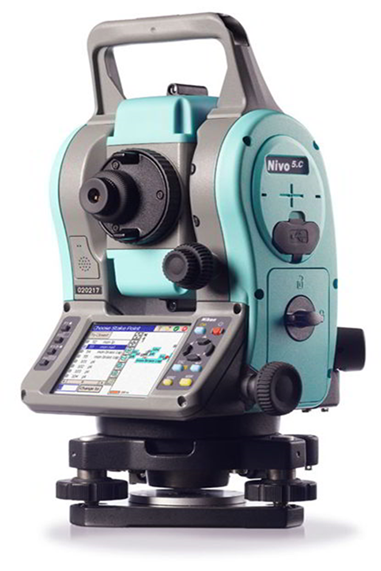
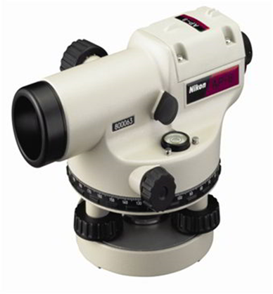
This laboratory consists of an assortment of state-of-the-art equipment for performing various observations and measurements in the field surveying. This equipment includes total station instruments for obtaining angle and distance measurements, engineering levels, laser distance meter, and hand-held meter, mapping grade GPS units, Hand GPS, tripods, reflective prisms, level rods, Vernier Theodolite, Prismatic Compass, Plane Table, Telescopic staff, Alidade, Plumbing Fork, Spirit level, Trough Compass, U -Frame, Digital Camera, Line Ranger, Optical square/Cross staff, Metric Chain, Plumb bob, Optical Square, Aluminum Ranging Pole, Arrows, Ranging Rod and Tachometer. Care and proper handling of surveying equipment is also emphasized before, during and after applying the practical projects. There are many research opportunities such as Gravimetry, Applied astronomy, Tele-detection, Equipment calibration and etc. Usually, 5 working groups can work together and in a same time based on the existed tools.
Location:
C118, C1 Corridor, 0-Floor, Engineering Faculty, Ferdowsi University of Mashhad, Mashhad, Iran.
Academic Staff:
Dr. M. Saeidian
Dr. R. Shad (Lab Administrator)
Dr. H. Etemadfard
Non-Academic Staff:
Mr. M. Fanoodi (Lab attendant)
Mr. E. Soroori (Technical Officer)
Mr. S. Karim (Technical Officer)
Mrs. S. Mohammadi (Secretor)
---------------------------------------------------------------------------------------------------------------