History
The Laboratory of Photogrammetry was founded in 1990 by Dr. Saeidian and has significant educational and research activities for undergraduate students of Civil and Survey. Initially, PGREL served the scientific goals of Photogrammetry and Computer Vision branches just for undergraduate students of Civil and Survey Engineering, Geomorphology, Geophysics, Agriculture and Geography. In 2012, Dr. Shad changed the name of this educational laboratory to the Photogrammetry, GIS and Remote Sensing Engineering Laboratory after beginning the graduate program of Ferdowsi University of Mashhad and the agreement letter of Science, Research and Technology Ministry to accept GIS and Remote Sensing MSc Engineering students. The decision of considering educational and research goals for the laboratory was taken based on the major policy of department and restricted lab spaces in the faculty.
Scopes
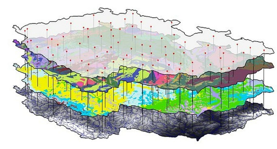
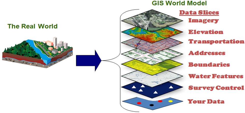
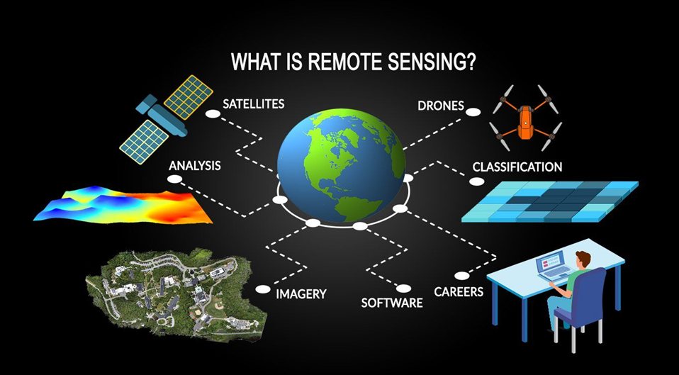
Different applications of Photogrammetry, GIS and Remote Sensing and their major relationships to the real-world problems originated from industries have made the PGREL activities more important. In recent years, GIS and Remote Sensing have transformed into Advanced Spatial-temporal Information Management Technologies with the integration of Mapping techniques, Surveying, Satellite Imagery, Photogrammetry, Geography, Geomorphology, Cartography and Global Positioning Systems (GPS). Also, advantages of using them in some fields like Agriculture, Rural development, Irrigation, Industries & Minerals, Energy, Transport, Communications, Science, Technology and Environment have made them as important challenges in the fundamental sciences such as the Computer, Civil, Mathematics, Statistics and Operations Research. Therefore, integrating these related researches using PGREL enables researchers to create flexible solutions and provide effective productions to solve the real complex spatial and temporal problems in different industries.
Members
The teaching staff of the laboratory consists of 7 members, while BSc students, researchers and postgraduate students can be presented into the course sessions. All academic staffs are scientifically acclaimed in the international scientific community, with a large number of professional publications and heterogeneous reports, having high scientific activities and experience in scientific fields of Photogrammetry, GIS, Multi Criteria Decision Making, Pattern Recognition, Image Processing, Microwave and Remote Sensing, which are at the forefront of technology.
Aim
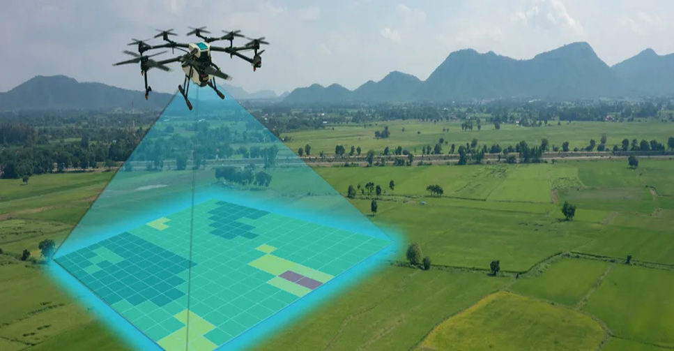
The major goals of the PGREL educational and research center is to persuade postgraduate students to work on the new topics such as: Drone Image Analysis, 3D photogrammetry, Spatial-Temporal GIS, SDI, Intelligent System, Trajectory Data, Context Aware Systems, Volunteered GIS, System Design, OWL, Web Semantic, Hyperspectral Image Processing, Radar Images Processing, LIDAR (Light Detection and Ranging), and to support undergraduate researchers in the theoretical and practical subjects of Photogrammetry, GIS and Remote Sensing, through the fundamental and advance researches. Moreover, there are some practical projects which will be defined to solve problems of industrial companies and governmental organizations. PGREL tries to identify qualify students to work on projects and make deserve incomes for them.
Courses
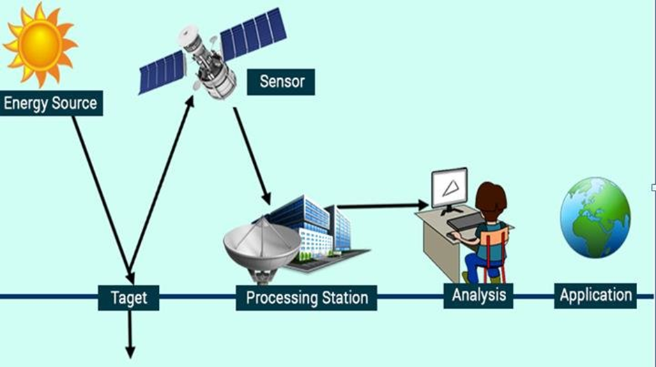
There are some courses such as Photogrammetry, GIS1, GIS2, LIS, Satellite Image Processing, Data management, MCDM, DSS, Web GIS, Distributed Systems, Big Data Analyze, Cloud Computing, IOT, Spatio-Temporal GIS, DTM, Physics of RS, Pattern Recognition, Application of Photogrammetry and Remote Sensing (In Environmental Science, Transportation, Roads, Weather, Geomorphology, Water and Waste-Water, Water resource, Health, Ecology, Geography, Soil, Disasters management, Geophysics, Urban planning, Architecture and etc.), Microwave, Radar-interferometry, LIDAR, Hyperspectral Image Analyze, Signal Processing and etc, for the MSc and PhD students to support their researches. These courses are presented in different semesters with the high qualified academic staffs. Also, there are different courses such as: GIS Applications, Photogrammetry, Geospatial Information System, Basics of Remote Sensing, GPS, Drone Image Analysis, Cartography and Arial Image Processing for Civil, Architecture, Urban design, Agriculture, Geography and Geomorphology students which are supported by PGREL for undergraduate levels in different departments. In addition, there are some virtual courses which are presented by best professors in some foreign universities based on students’ requests and the comprehensive international program of laboratory.
Future
Some research interests of the members of the Laboratory are focused on 3D Mapping based drone analysis, Underwater Mapping and Imagery, using LIDAR and SAR data, Classification, Segmentation, Virtual and Augmented Reality, Hyperspectral Processing Intelligent Systems and Spatial-Temporal Systems. Based on the research outputs of students, PGREL follows several aims in the future: a) To develop the educational and research requirements (both at the undergraduate and graduate levels), b)To increase output papers in the Q1 journals, c)To develop technological infrastructures to improve the relevant education techniques, d) To organize international seminars, conferences and lectures for engineers, researchers and scientists, e) To create a special journal and archives for integrated research purposes and f) To increase the international experts to work with the laboratory. One of the main future plans of laboratory is to develop as an important research center in the East of Iran.
Equipment
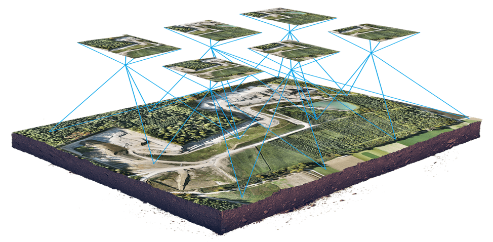
The Laboratory of Photogrammetry, GIS and Remote Sensing is moving to update equipment and employs modern digital instruments. Some available instruments which are providing by cooperating and supporting some governmental organizations (in the near future) include: digital photogrammetric workstations, photogrammetric image scanner, terrestrial laser scanners, time-of-flight technology, structured light scanner, calibrated terrestrial digital high resolution cameras (with a variety of different lenses), special tripod for aerial photography, special photographic pole, Heavy Lift Octocopter V Rc-Drone with DJI A2 Flight Control System, Phantom 4 and DJI Mavic 2 Pro, UAV-borne Methane Leak Inspection System, total stations, icon-geodetic station, pair of GPS indicators, Spectrometer and Stereoscope. In addition the Laboratory has a large number of specialized software to cover all stages of photogrammetric applications such as: Data Collection, Photogrammetric Processing, Orthophoto Production, Development of Surfaces, Point Cloud Processing, Creation of 3D Surfaces and Models, 3D Model Processing, Photo-Texture Rendering in 3Dmodels, Creation of Photorealistic Models, Photo modeler lite, Bundle Adjustment, PCI Geomatica, ENVI, EDRISI, ERDAS, Virtuzo, ArcGIS, QGIS and etc . Also, There are some Photogrammetric Tables for students to analyze and interpret images.
Location:
Right Room, Floor 1, Telecommunication Research Building, Near to the Ferdowsi Technology and Incubatory Center NO.1, Engineering Laboratories Section, Between the Engineering Faculty and Bahonar Street, Ferdowsi University of Mashhad, Mashhad, Iran.
Academic Major Staffs:
Dr. M. Saeidian
Dr. R. Shad (Lab Administrator)
Dr. H. Etemadfard
Academic Adjoint Staffs:
Dr. F. Maghrebi (Water and Waste-Water Applications)
Dr. M. Ghaemi (DTM and RS Applications)
Dr. M. Salari (MCDM)
Dr. A.H. Taherinia (Image Processing)
Dr. S.A. Seyyedein (Microwave and Radargrammetry)
Dr. S.H. Sadooghi Yazdi (Pattern Recognition)
Staff:
Mr. S.A. Hosseini (Lab attendant)
Mr. M.R. Rastin (Technical Officer)
Mr. S. Karim (Technical Officer)
Mrs. S. Mohammadi (Secretor)
-------------------------------------------------------------------------------------------------------------------